
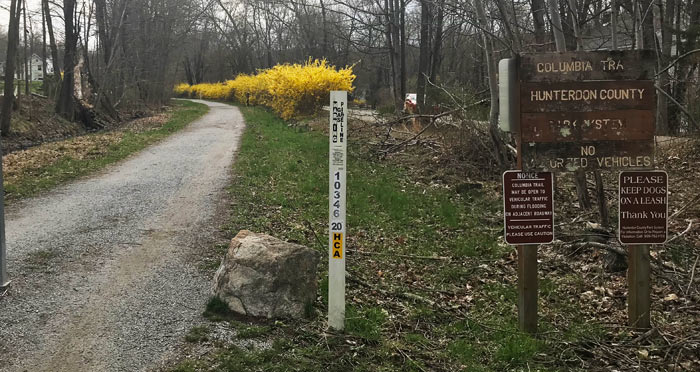
The Columbia Trail is a multi-use path that follows an abandoned railroad corridor for over 15 miles. The trail runs from the border of Mt. Olive and Washington Townships in Morris County southwest to downtown High Bridge in Hunterdon County. Each county section is managed by its respective County Park System. Named for the Columbia Gas Line that follows the railroad corridor alignment underground, the trail passes through some of the most scenic landscapes in the Highlands region. The South Branch of the Raritan River is a steady “companion” along this trail.
The trail accommodates equestrians, bicyclists, joggers, families with strollers, wheelchair hikers, and cross-country skiers. The trail surface is not paved, so activities requiring smooth, flat surfaces, such as rollerblading, are not possible. Generally the surface is hard packed natural dirt and clay, or gravel, in Morris County. In Hunterdon County, the surface is uniformly crushed stones navigable by wheeled vehicles.
More information from the New Jersey Trails Association.
Last modified: April 14, 2019
